


Aerial technology is reshaping how surveying companies in Perth and across Western Australia deliver results. Drone technology in surveying enables faster, safer, and more accurate data collection across mining, construction, and land development projects.
In WA’s vast and demanding terrain, drones are proving to be a game-changer for industries that depend on reliable, precise information.
The Evolution of Surveying in WA
Traditional surveying in Western Australia relied on total stations, levels, and ground-based crews. These methods are labour-intensive and time-consuming. Surveyors often spent weeks in remote locations capturing data by hand.
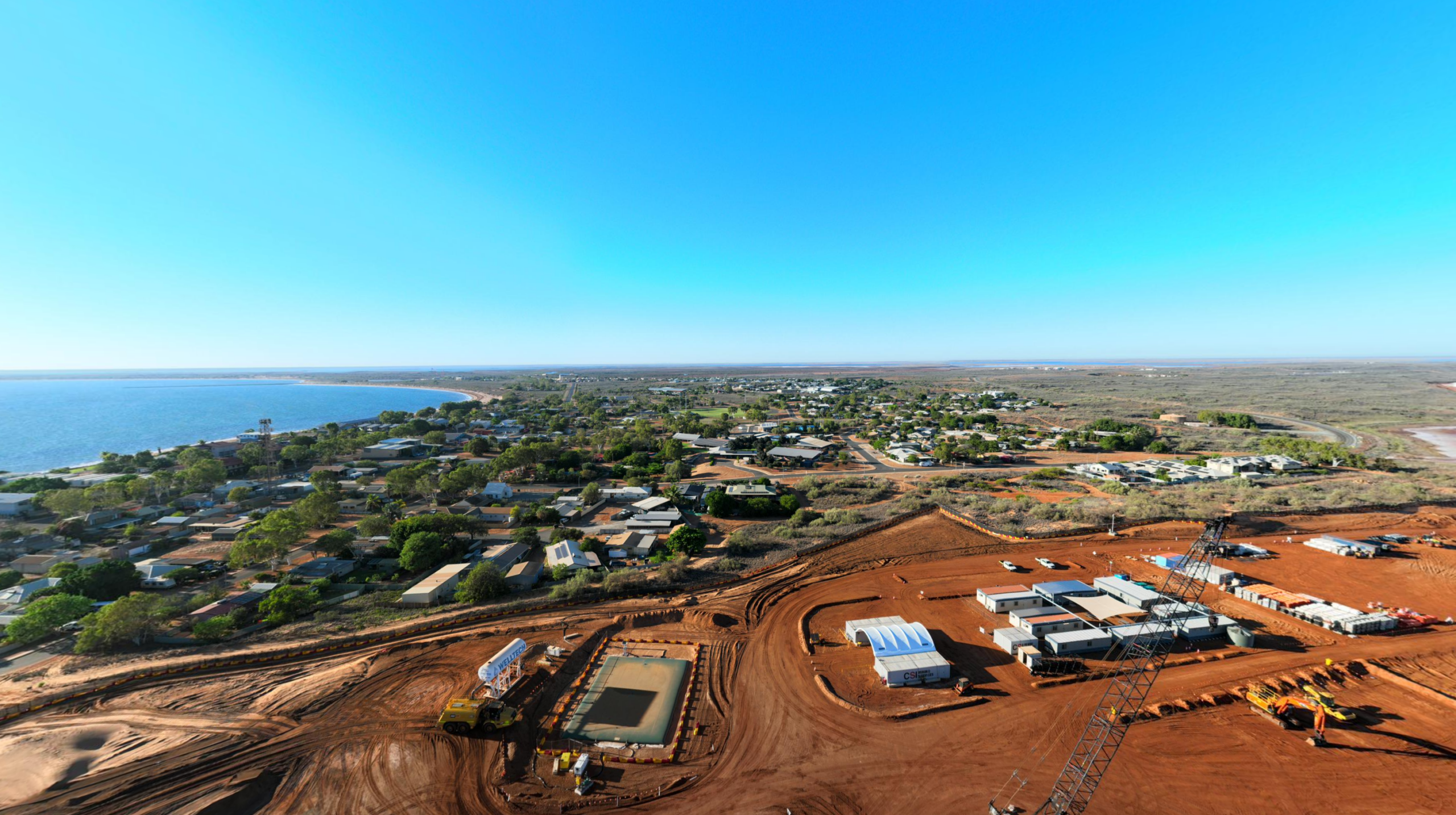
Western Australia produces an estimated 56% of Australia’s $415 billion in minerals and petroleum exports, cementing its position as the nation’s leading and unmatched mineral and petroleum export powerhouse.
The evolution of drone technology allowed surveyors a way to capture detailed site data in hours rather than days. For WA industries operating in harsh and expensive environments, this efficiency is essential.
What Is Drone (UAV) Surveying?
Drone surveying uses uncrewed aerial vehicles (UAVs) to collect spatial data from above a site. Drones capture overlapping images, which are processed using photogrammetry software to create accurate 3D models and orthomosaic maps.
Advanced applications use LiDAR (Light Detection and Ranging) sensors, capable of penetrating vegetation and delivering centimetre-level accuracy. GPS integration ensures precise georeferencing, aligning aerial data with ground control points.
Typical equipment in WA projects includes fixed-wing drones for long-distance coverage and multirotor drones for detailed inspections. High-resolution cameras, LiDAR payloads, and RTK (real-time kinematic) GPS systems are becoming standard.
All drone operations in WA must comply with the Civil Aviation Safety Authority (CASA) regulations. These rules govern licensing, altitude restrictions, and safe practices, ensuring drone surveys meet legal and safety standards.
Benefits of Drone Surveying for WA Projects in a Nutshell
| Factor | Traditional Surveying | Drone Surveying |
| Speed | Days to weeks for large sites | Hours for the same coverage |
| Accuracy | High but limited to line-of-sight | Enhanced with LiDAR and GPS |
| Safety | Crews in hazardous locations | Remote operation, reduced risk |
| Cost | Higher labour and travel expenses | Lower costs in remote areas |
| Terrain Access | Limited in rough landscapes | Easily covers difficult terrain |
Drones improve safety by keeping crews out of hazardous zones. They also cut costs by reducing travel and labour requirements in remote WA locations.
Industry Applications Across WA
- Mining operations: Drones map pits, measure stockpiles, and monitor haul roads. They improve accuracy in volume calculations and reduce downtime.
- Construction: Site managers use drones for progress tracking, cut-and-fill measurements, and verifying design compliance. Aerial imagery offers stakeholders a clear view of project status.
- Land development: Developers rely on drone-based topographic surveys for planning approvals, boundary checks, and subdivision layouts.
- Environmental monitoring: Drones track coastal erosion, map vegetation, and assess rehabilitation. In WA’s fragile ecosystems, these surveys deliver essential compliance data.
Practical Considerations for Drone Surveying
Drone surveying in Perth and WA offers major advantages, but operators must plan for certain conditions. High summer temperatures, strong winds, and dust can affect flight times and sensor accuracy, making careful scheduling and equipment choice important.
Airspace restrictions near airports, defence facilities, and industrial zones require adherence to CASA regulations. With proper approvals and planning, most projects can integrate drones effectively within permitted areas.
Drone surveys also generate large data sets. Powerful computing and skilled expertise ensure this information is processed, stored, and analysed to deliver maximum value. In addition, ground-based methods remain necessary for specific tasks such as pegging or legal land title surveys.
Integrating Drone Surveys with Traditional Methods
The best results come from combining aerial and ground-based techniques. Drones capture broad site data quickly, while ground crews validate and refine details for legal and engineering accuracy.
Silverstone applies this hybrid approach to deliver precise, efficient, and compliant results. By integrating drone outputs with established surveying methods, clients gain confidence in data quality and compliance with WA regulations.
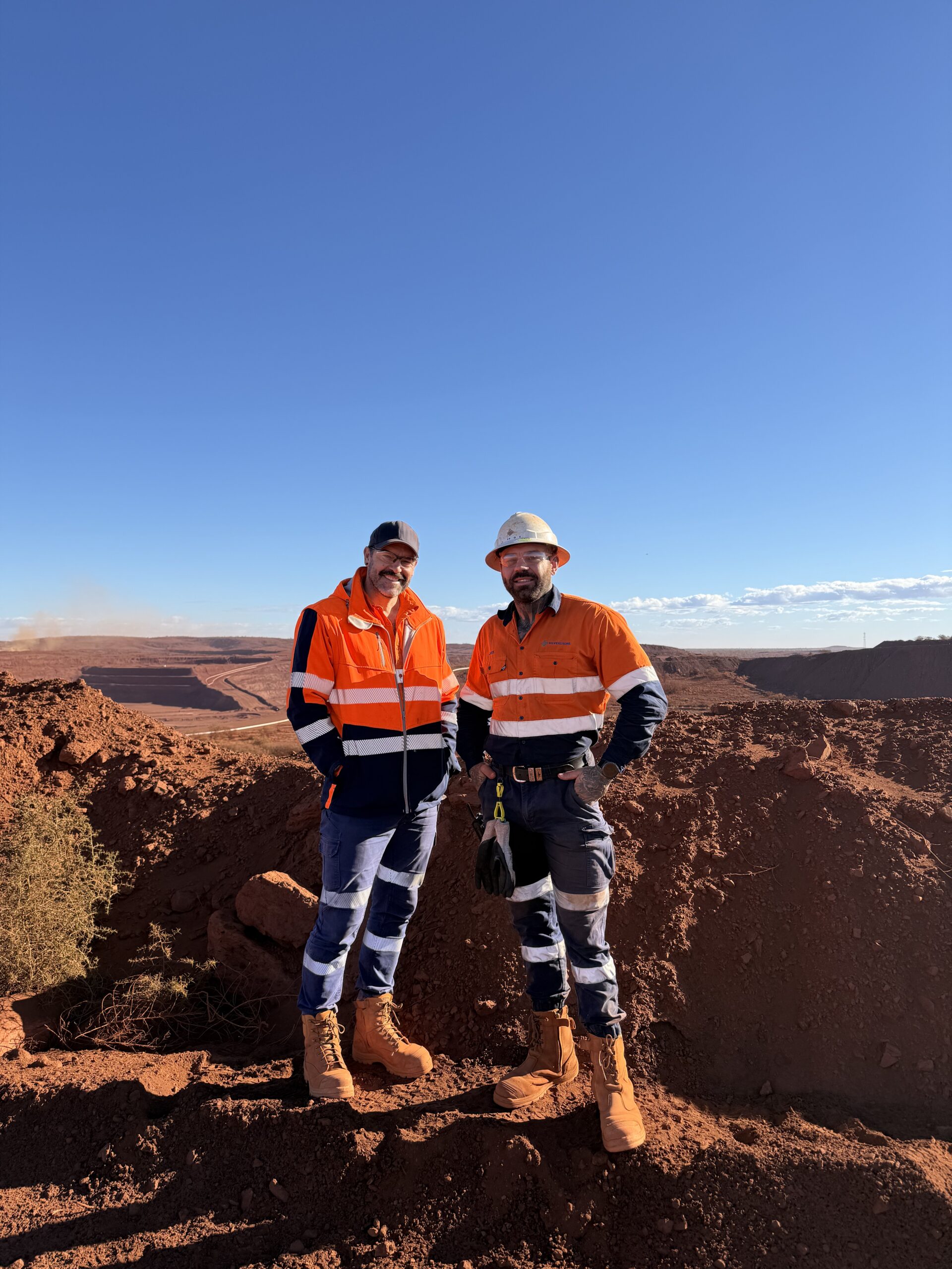
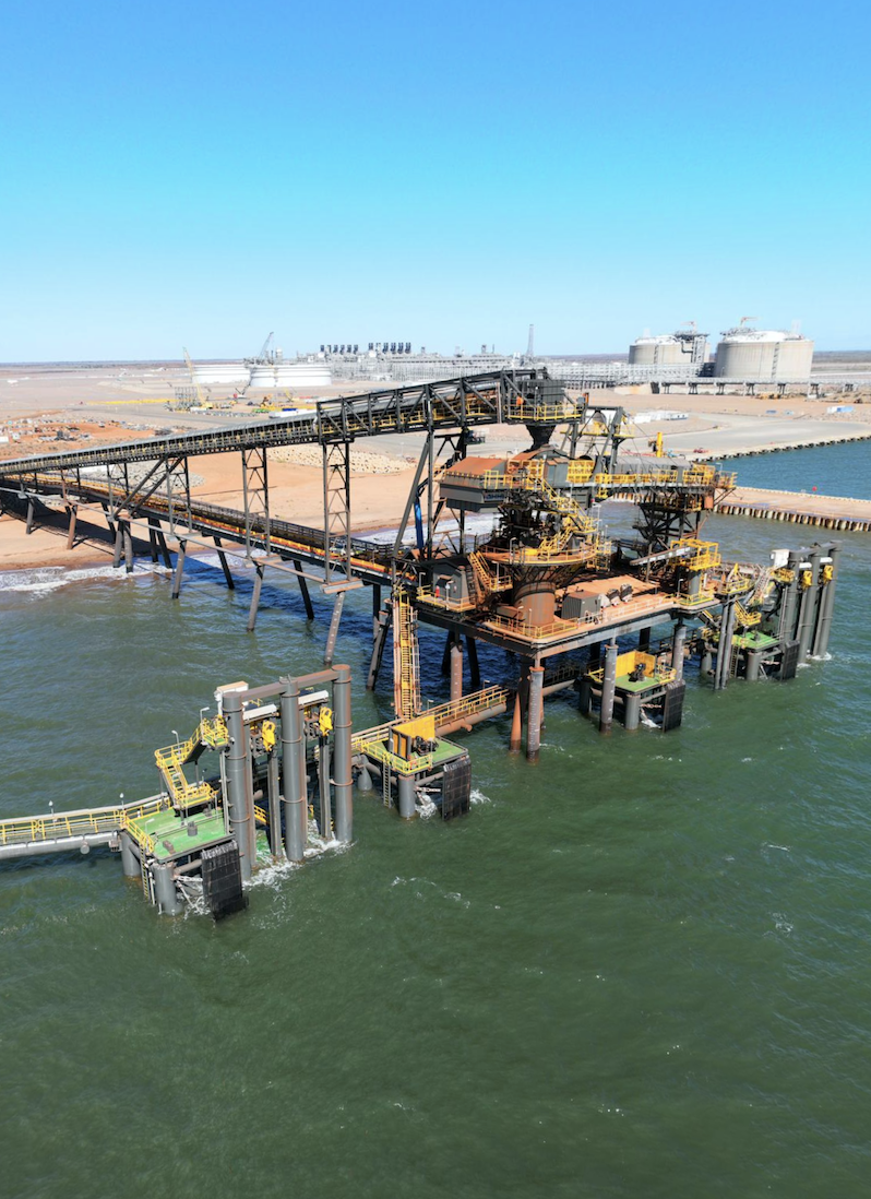
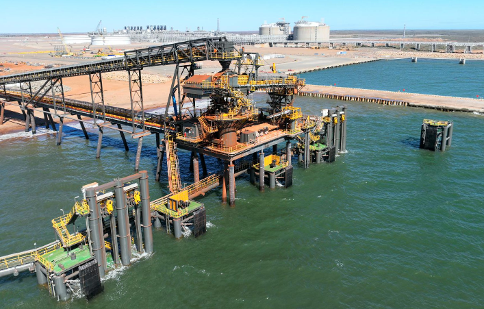
Case Study: Surveying Support for Major Iron Ore Project
Silverstone Surveying played a critical role in one of Australia’s largest iron ore projects, located in Onslow, WA.
Challenges
The project required precise surveying across a large-scale mining development. Our team coordinated diverse tasks, including SMP, bridge construction, and roadworks, while maintaining strict safety standards and efficiency throughout the 12-month duration.
Solutions
✔ SMP and bolt installation for structural works.
✔ Bridge construction and monitoring to ensure structural integrity.
✔ Panel set-out and volume surveys for accurate progress tracking.
✔ Road and civil works surveying to support infrastructure delivery.
✔ Ongoing monitoring aligned with Silverstone’s safety and quality standards.
Results
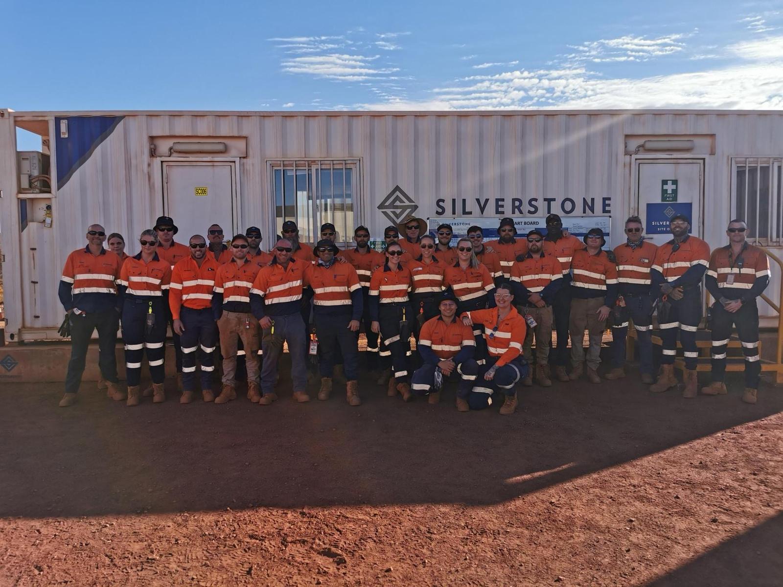
Silverstone deployed four surveyors who collectively contributed more than 5,000 hours over the 12-month project. Our accurate, timely surveying supported efficient construction, enabled safe operations, and ensured ore delivery ahead of schedule. The project showcased Silverstone’s ability to deliver multi-disciplinary surveying services with precision and reliability in WA’s demanding mining sector.
Future of Drone Technology in Surveying
Drone technology continues to advance. Artificial intelligence is already enhancing data analysis by automating object recognition and anomaly detection.
Sensor technology is improving, with smaller, more powerful LiDAR units delivering sub-centimetre accuracy.
Regulatory support is also growing, as CASA expands frameworks for beyond-visual-line-of-sight (BVLOS) operations, which will enable even greater efficiency across large WA projects.
Stay in touch with industry news: Explore our Industry Articles.
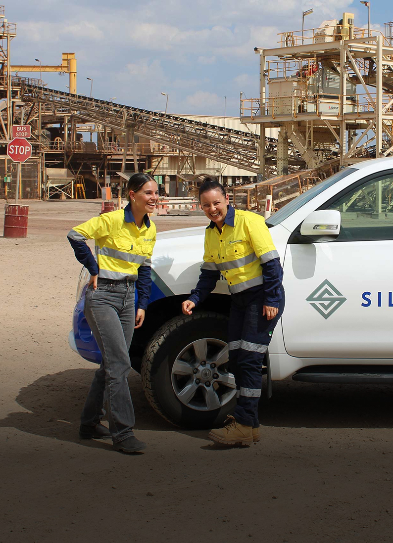
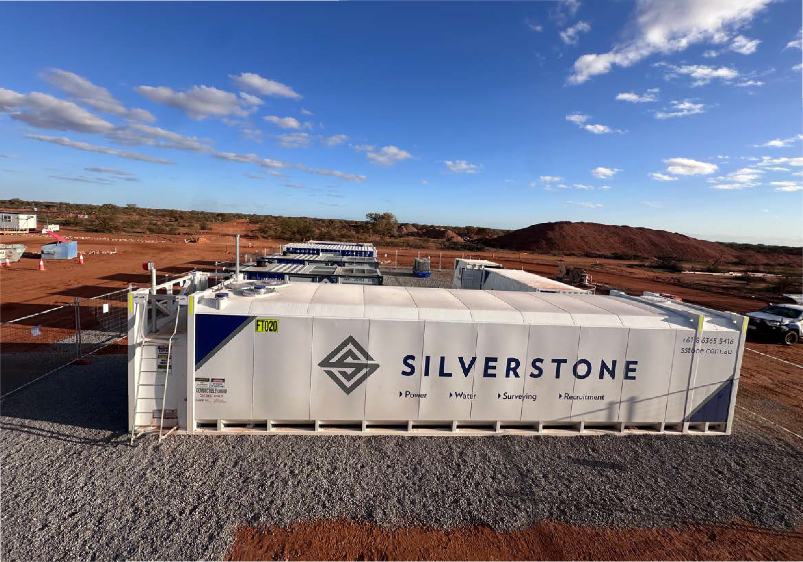
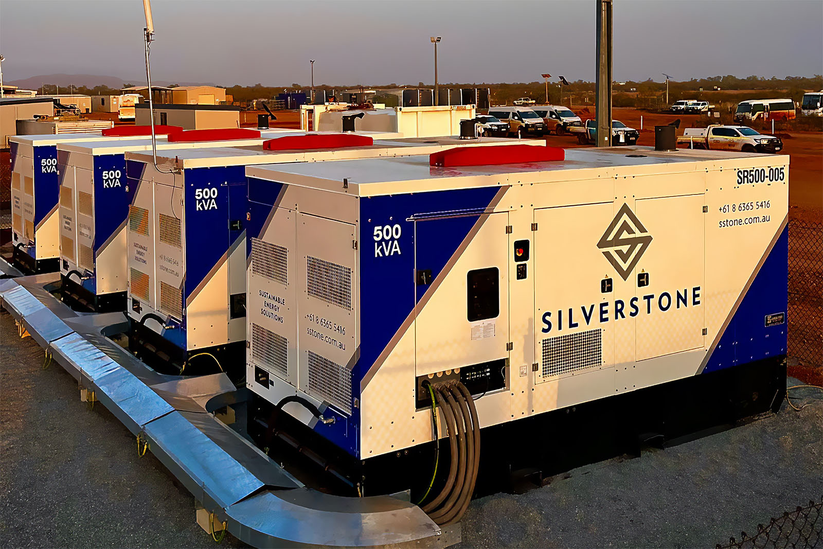
How Silverstone Delivers Advanced Drone Surveying Services
Silverstone Surveying combines decades of local expertise with cutting-edge technology. Our licensed drone operators use high-end UAVs equipped with advanced sensors, delivering accurate data in WA’s toughest conditions.
We understand the challenges of surveying across harsh terrain, from the Pilbara to the Goldfields. Our team provides end-to-end services, from initial planning to data processing and reporting, ensuring every project meets compliance standards.
As one of the most trusted surveying companies Perth has to offer, Silverstone delivers drone surveying that Perth industries depend on for reliable outcomes.
Learn more: Sustainable Water Solutions for Remote and Harsh Environments.
Taking Surveying to New Heights
Drone technology in surveying reshapes how surveyors deliver projects across WA. From mining to land development, drones provide speed, accuracy, safety, and cost savings. While challenges remain, integration with traditional methods ensures the best results.
Silverstone offers the expertise, equipment, and local knowledge to deliver advanced surveying solutions across Western Australia.
Contact our team today at +61 8 6365 5416 or [email protected] to explore drone surveying solutions for your next project.