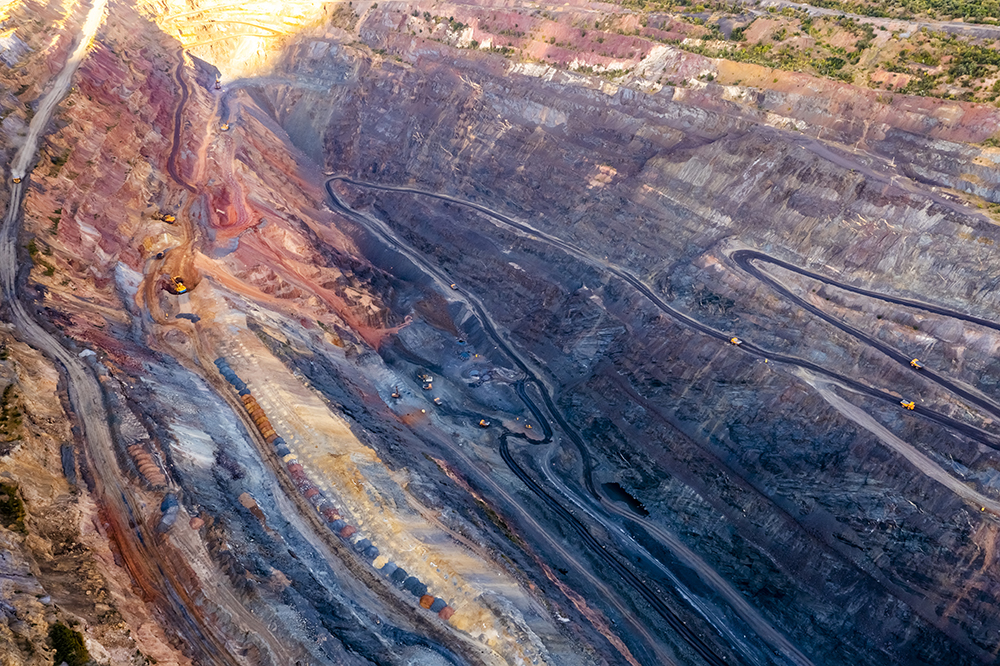


Accuracy in surveying is non-negotiable throughout every stage of a mining project, from early earthworks through to final verification. In Western Australia’s remote and demanding environments, even small survey errors can lead to delays, rework, and safety risks.
Learn how Silverstone combines Total Station Surveying and GNSS surveying to deliver accurate, reliable results across WA mining projects.
The Role of Precision in Modern Engineering Projects
Mining engineering relies on tight tolerances. Survey accuracy directly influences design intent, construction quality, safety, and long-term asset performance:
Tolerance-Sensitive Construction Activities
Many mining tasks demand high positional accuracy. These tasks include concrete foundations, conveyor alignments, structural steel erection, haul road geometry, and drainage construction. Each activity depends on precise horizontal and vertical control to meet engineering requirements.
Compliance, Verification, and Cost Control
Accurate surveying is the backbone of compliance and cost control. Verified setouts and as-built surveys help teams meet specifications and regulatory obligations. This approach reduces disputes, limits rework, and protects project budgets.
Economic Value of Accurate Positioning
National positioning infrastructure underpins GNSS and Total Station surveying across mining operations. This infrastructure will deliver $365 million in economic benefits to industries, including mining, between 2019 and 2038. Mining alone will gain $90.7 million through productivity improvements driven by reliable spatial data.
Productivity Gains from Modern Surveying Methods
Modern surveying workflows improve on-site efficiency. GNSS-supported workflows can reduce surveying labour costs by up to 30%. When surveyors combine GNSS site control with Total Station setouts and verification, smaller crews deliver consistent and repeatable results across complex mining environments.
Source: Geoscience Australia.
Understanding Total Station and GNSS Technology
Different surveying technologies serve different roles across a mining project lifecycle:
What Is a Total Station?
A Total Station measures angles, distances, and coordinates from a fixed position. It combines electronic distance measurement with angular observation to deliver highly precise point data.
In mining, surveyors use Total Station surveying for control networks, detailed setouts, and as-built verification. These instruments excel where millimetre-level accuracy matters, such as structural elements, mechanical positioning, and concrete works.
What Is GNSS Surveying?
GNSS surveying uses satellite signals to determine precise positions over large areas. It provides rapid coverage and real-time coordinates without requiring line-of-sight between points.
For WA mining projects, GNSS supports site establishment, large-scale control, and long baselines across expansive Pilbara and Goldfields sites. GNSS integrates with digital designs and machine guidance, improving mobility, accelerating workflows, and enabling real-time positioning on active mine sites.
The Power of Integration
Silverstone combines GNSS and Total Station technologies to balance speed and accuracy. GNSS establishes wide-area site control, while Total Stations deliver precision where it matters most. This integrated approach reduces cumulative error and maintains accuracy from early earthworks through to final verification.
Learn more: 5 Surveying Mistakes That Can Derail an Engineering Project (and How to Prevent Them).
How Total Station and GNSS Enhance Accuracy and Efficiency
Reducing Human Error with Digital Precision
Modern Total Station and GNSS workflows reduce manual calculations and transcription errors. Digital measurements transfer directly into survey software, protecting data accuracy. This precision allows smaller crews to work efficiently and supports labour reductions of 13 to 35% across mining operations.
Real-Time Data Validation and Alignment
Surveyors validate positions in real time against live design models during setout. Teams correct misalignments immediately, before construction progresses. This early control prevents rework and delays, with studies linking accurate positioning to 21 to 75% improvements in overall mine productivity.
Faster Setouts and As-Built Verification
GNSS accelerates site establishment across large mining footprints, while Total Stations deliver detailed setouts in active work areas. As-built surveys confirm construction accuracy and compliance. Precise positioning also supports 0.5 to 2% productivity gains through improved material and stockpile management.
Improved Collaboration Between Survey and Engineering Teams
Shared digital survey data aligns surveyors and engineers around a single, verified dataset. This coordination reduces miscommunication and design clashes. Integrated positioning workflows also improve equipment efficiency, contributing to 2 to 3% reductions in fuel consumption through better movement and machine guidance planning.
Source: Geoscience Australia.
Traditional vs Modern Surveying Accuracy Comparison
| Aspect | Traditional Methods | Total Station and GNSS |
| Data capture | Manual, slower | Digital, real-time |
| Error risk | Higher | Reduced through automation |
| Coverage | Limited | Large-scale and detailed |
| Integration | Minimal | Direct CAD and machine guidance |
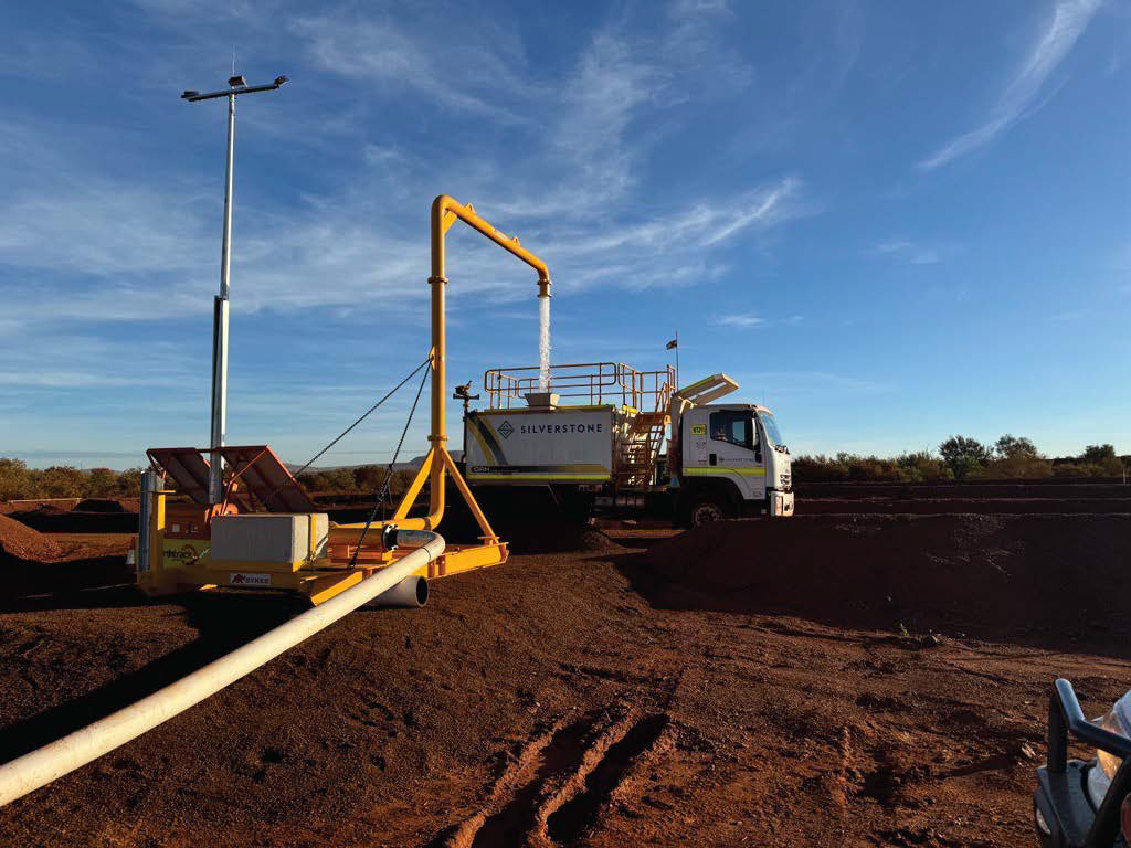
How Silverstone Manages Surveying Challenges Across WA Mine Sites
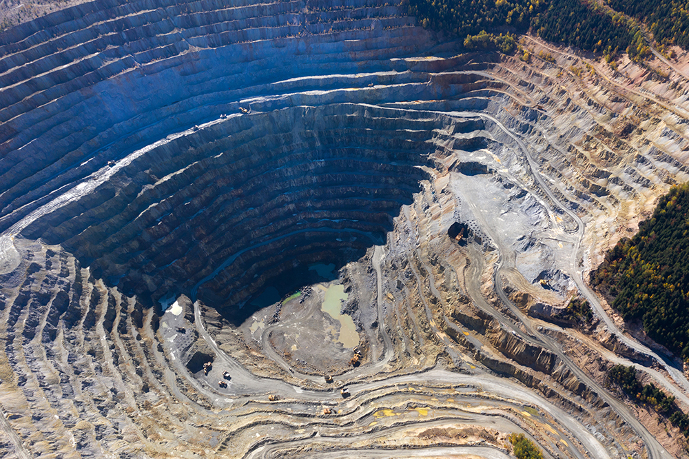
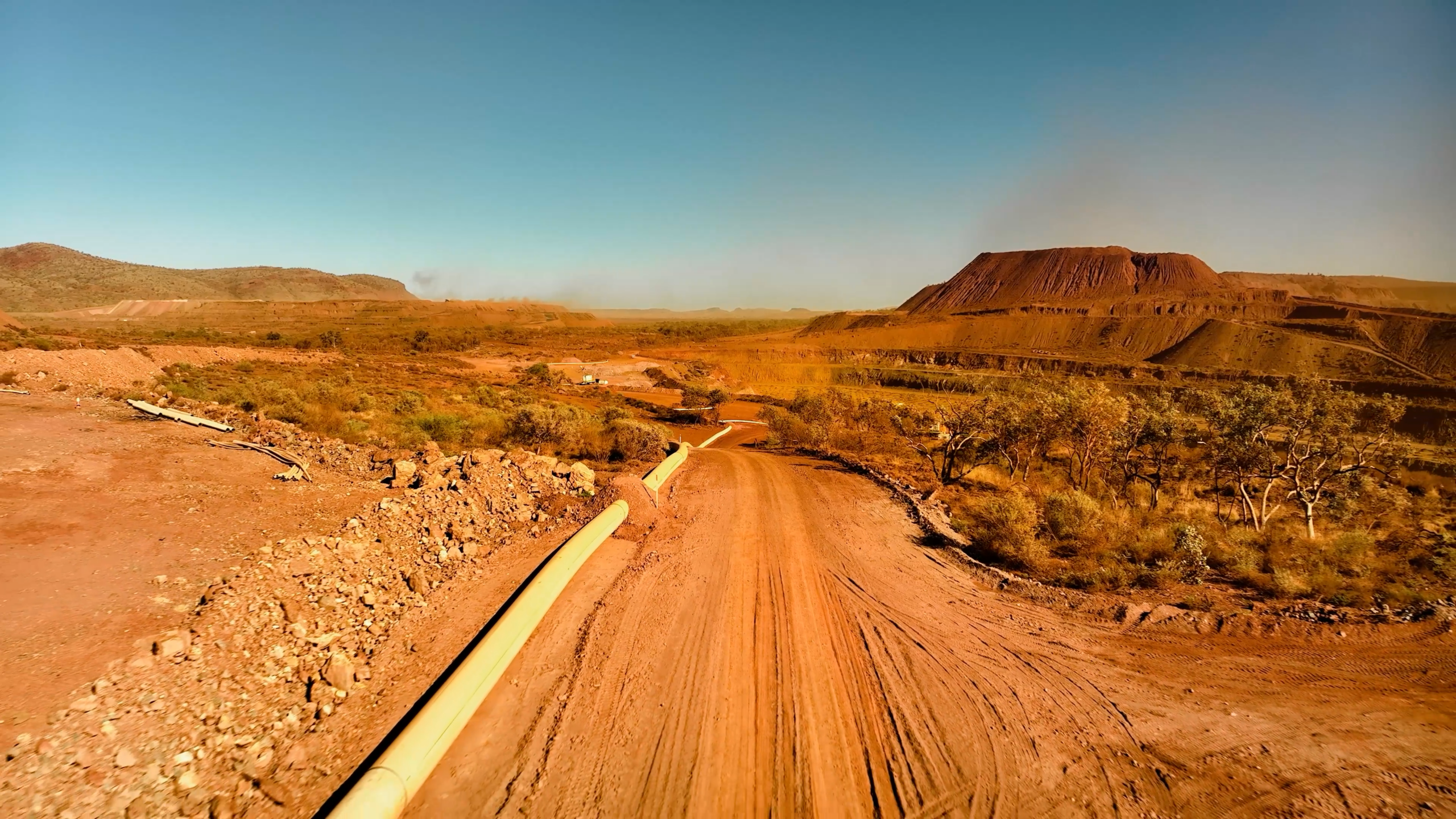
WA mining sites face extreme heat, dust, and remote conditions. Survey equipment must perform reliably above 40 degrees Celsius. Silverstone selects instruments designed for harsh environments and applies regular calibration to maintain accuracy on site.
Large mine footprints increase the risk of cumulative survey error. GNSS establishes reliable control across wide areas. Total Stations then deliver precise measurements where tighter tolerances apply. This approach maintains accuracy across long baselines and complex layouts.
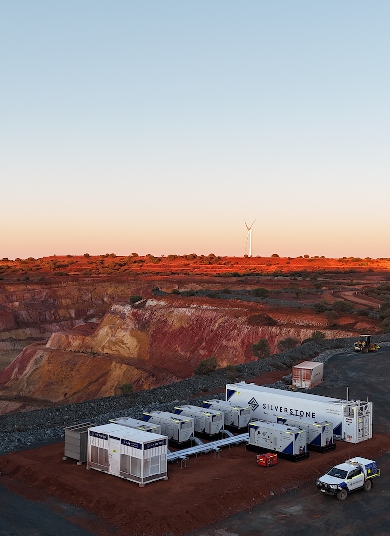
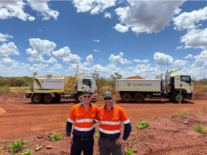
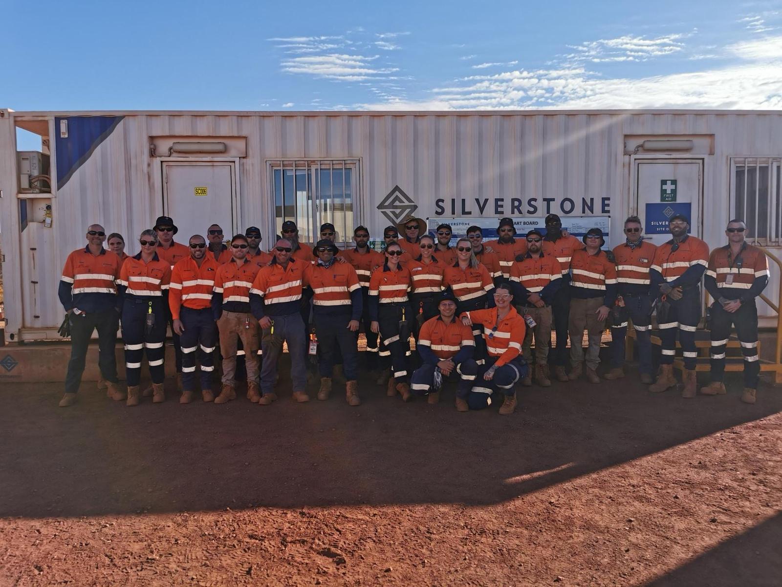
Silverstone Surveying operates as a dedicated WA division with over 60 years of combined experience. Surveyors work closely with engineers and site teams. Integrated workflows, modern equipment, and strict quality assurance ensure consistent results from early works to final verification.
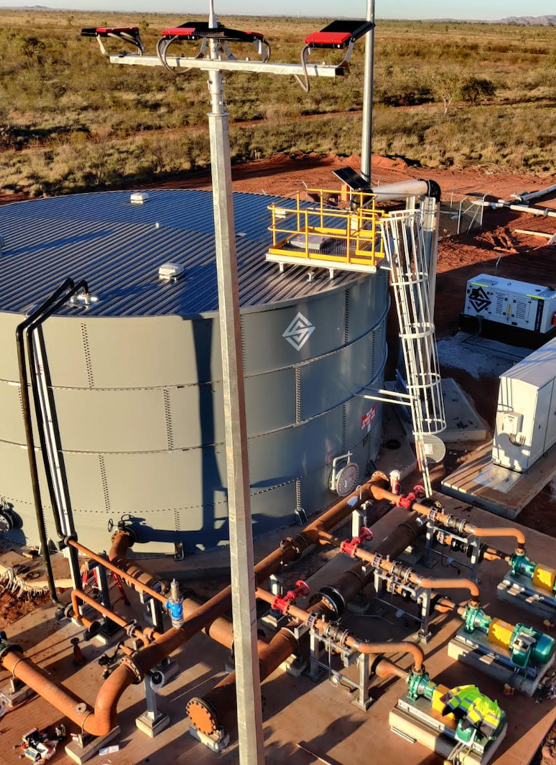
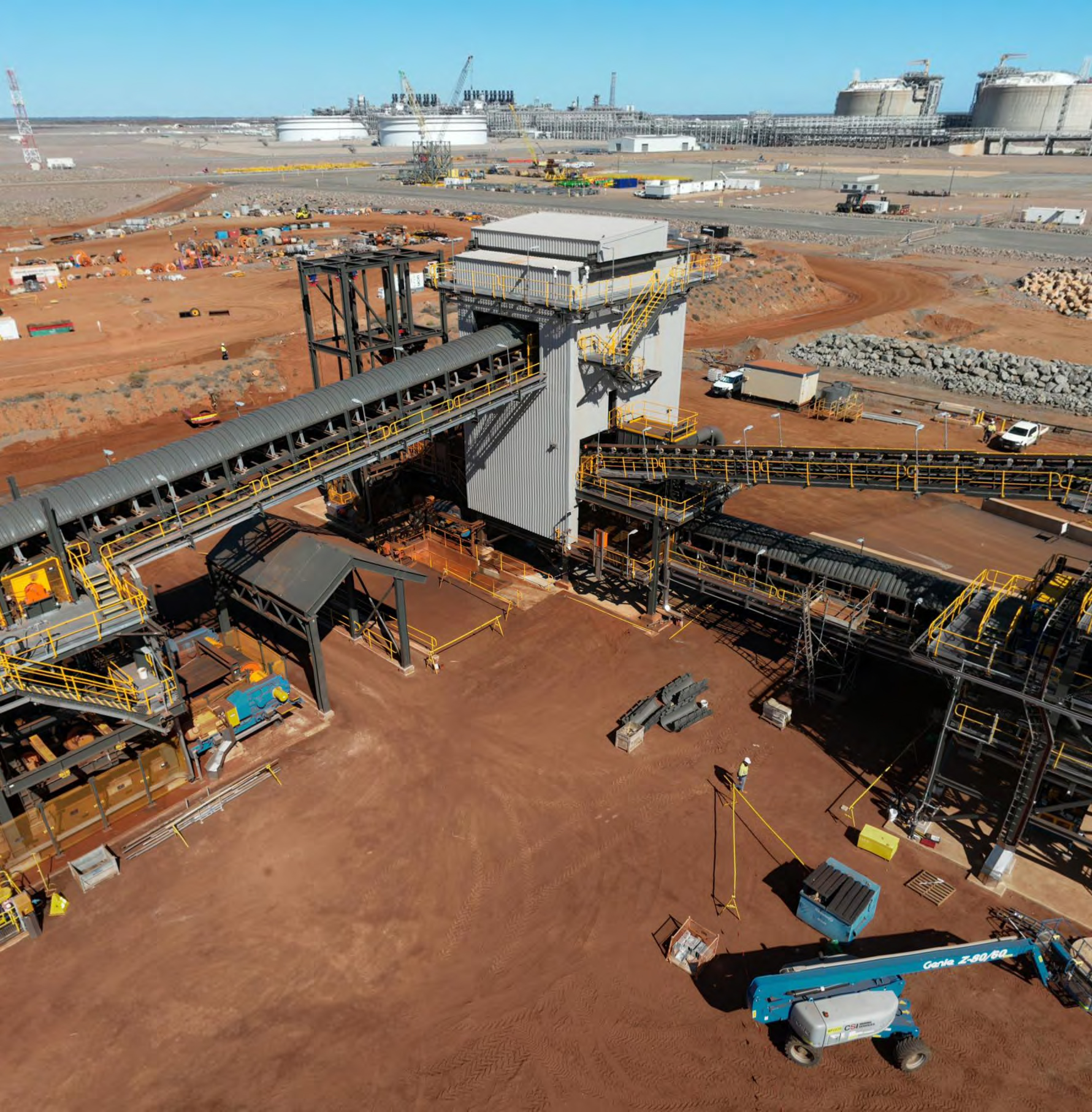
Real-World Application: MRL Onslow Project
Silverstone’s MRL Onslow project highlights surveying performance in a large-scale mining environment.
The Challenge
The MRL Onslow Iron Ore project required accurate surveying across SMP, civil, bridge, and road works over a long project duration. Multiple work fronts, strict safety requirements, and ongoing construction activity demanded consistent spatial control and verification.
The Solution
Silverstone deployed GNSS surveying to establish robust site control across the project footprint. Total Station surveying then delivered precise setouts and as-built verification for SMP, bolt installation, bridge construction, panel erection, road works, and volume surveys.
The Results
Over 12 months, four surveyors completed more than 5,000 work hours. Reliable surveying helped deliver more infrastructure ahead of schedule while maintaining Silverstone’s safety and quality standards.
Turning Precise Surveying into Construction Certainty
Total Station Surveying and GNSS surveying form the backbone of modern mining engineering accuracy. Together, they deliver precision, efficiency, and reliability across Western Australia’s most demanding projects.
Silverstone combines advanced technology with deep field experience to deliver trusted surveying outcomes. Contact Silverstone on +61 08 6365 5416 or email [email protected] for a dependable surveying company in Perth that provides excellence in WA’s toughest conditions.