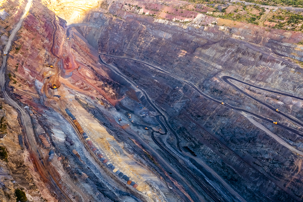


Even the most advanced mining projects can fail without accurate surveying. A single data error can trigger rework, cost blowouts, and safety risks. Mining teams must spot and prevent these errors to avoid the risks.
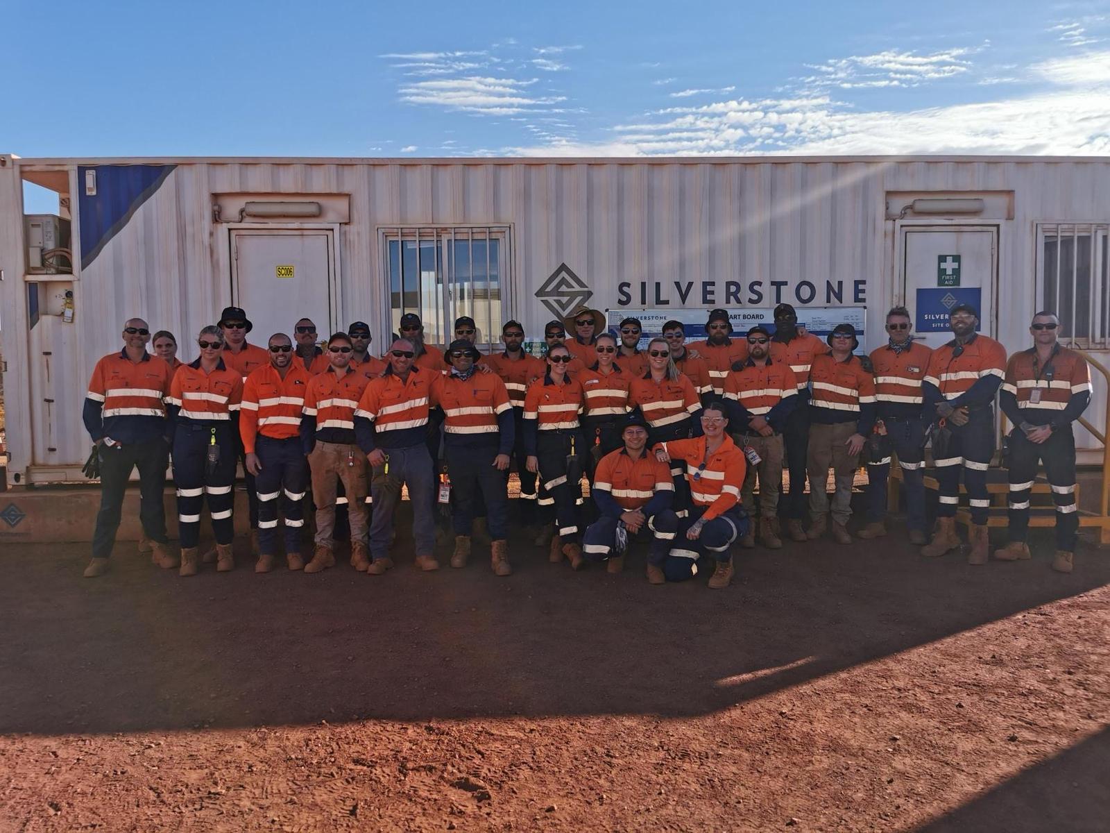
Silverstone’s experts bring you five common engineering survey challenges that can derail projects in Western Australia.
1. Inaccurate or Incomplete Survey Data
Accurate surveying underpins every engineering project. When data is flawed, costs escalate quickly, with mining overruns averaging 25-30% globally. Errors often result from poor assessments, outdated tools, or rushed setups that compromise precision.
How to Prevent It
Calibrate equipment before each survey and use the right tools for the task. Use total stations for detailed structural and set-out work, GNSS for broader control and topographic capture, and drones for large-scale mapping. Apply strict verification procedures at every stage. Silverstone ensures data integrity through advanced technology and rigorous QA processes.
2. Poor Communication Between Surveyors and Engineers
Research shows that a lack of clear communication between surveyors and site teams is one of the major reasons for cost overruns. Separate schedules and systems cause misalignment, while missing shared platforms leads to duplicated or overlooked updates during mining.
How to Prevent It
Set up shared data workflows early and hold joint briefings before key milestones. Use cloud platforms for live access. Silverstone links surveying with operations to keep data accurate and consistent.
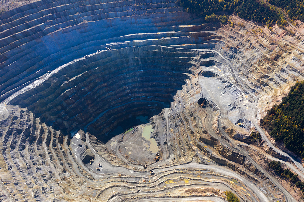
3. Ignoring Ground and Environmental Conditions
Digital data can mislead when it lacks real-world validation, as teams sometimes over-rely on aerial or desktop data without proper ground checks. In WA’s variable mining terrain, this can cause costly errors. Research shows that inaccurate early surveys lead to major remediation and redesign expenses, sometimes stretching into the millions.
How to Prevent It
Combine total station and GNSS surveys with on-ground verification for precise terrain and design data. Drone mapping can supplement large-area coverage, but field validation remains essential. Silverstone’s mining surveyors in Perth understand WA’s terrain and deliver accurate, site-verified results across the state.
4. Failing to Update Survey Data During Project Stages
Many teams keep using outdated survey models as projects progress, creating design clashes and wasted materials. Timely resurveying and live data updates prevent costly rework and delays.
How to Prevent It
Schedule surveys after each mining milestone and update machine guidance data daily. Maintain a single, controlled dataset. Silverstone’s progressive surveys ensure designs match real conditions and on-site progress.
5. Lack of Qualified Personnel or Oversight
Labour shortages and limited skilled availability across Western Australia pushed wages higher and delayed schedules. Among other factors, this drove 25% cost surges in two recent WA mining construction projects. Unqualified personnel can create significant compliance risks and costly data inaccuracies.
How to Prevent It
Hire certified WA surveyors and enforce strict QA on all deliverables. Partner with Silverstone for end-to-end surveying under robust systems, ensuring accuracy, compliance, and accountability across every project phase.
Learn more: How to Hire the Right People for Remote Mining and Construction Sites.
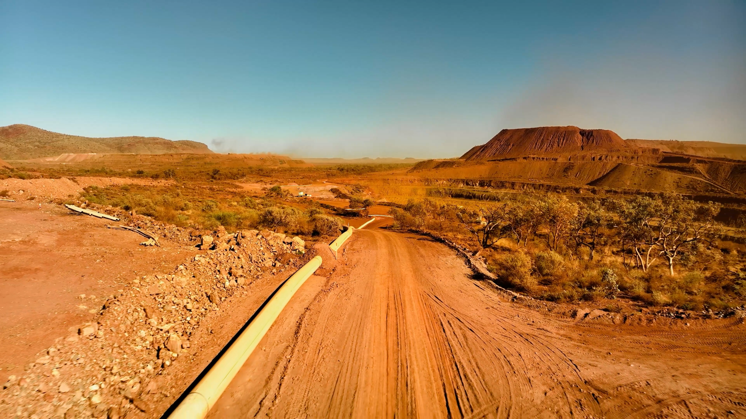
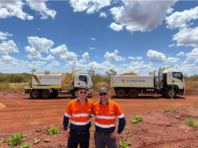
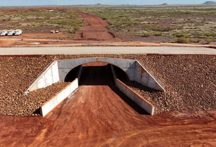
WA Case Study: Onslow Iron Ore Project
Silverstone’s Surveying Department supported one of Australia’s largest iron ore projects under development in Onslow, WA. The 12-month Onslow program combined structural, mechanical, and civil works, contributing to the successful delivery of ore ahead of schedule.
The Challenge
The client required comprehensive surveying support to manage complex mining works, including bridge construction, road development, and volume monitoring. Maintaining precision and safety across multiple disciplines was essential to meeting strict project timelines.
The Solution
Silverstone’s team delivered a complete suite of surveying services throughout the project.
- Provided surveying for SMP, bolt installation, and panel set-out.
- Supported bridge construction and monitoring with quality assurance controls.
- Completed road works, civil works, and volume surveys to verify progress.
- Applied Silverstone’s commitment to Safety and Quality at every stage.
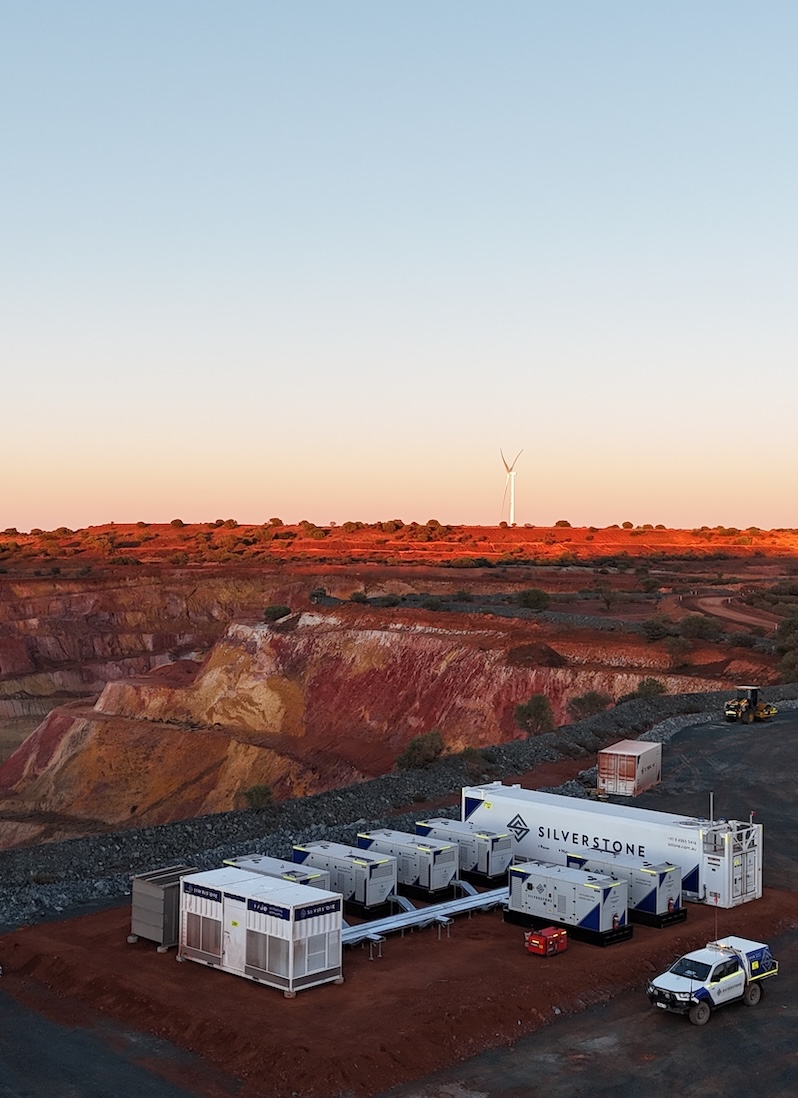
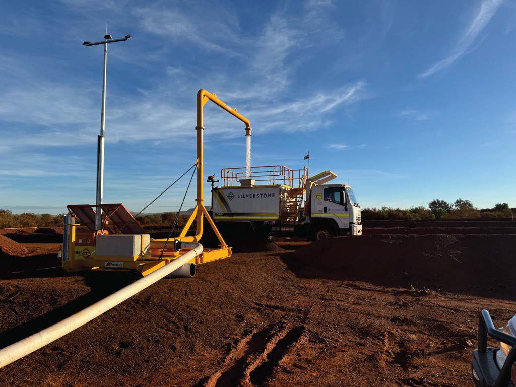
Case Study: Major Water Infrastructure in the Pilbara
Silverstone’s Surveying Department played a central role in delivering a major water infrastructure project for a leading mining company in the Pilbara, WA. The project formed part of the client’s sustainable energy and dewatering program, supporting efficient water management across one of Australia’s harshest environments.
The Challenge
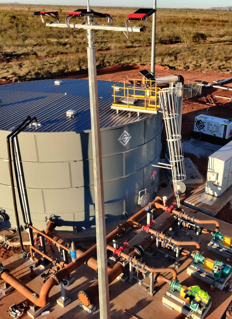
The project required precise surveying in high-risk areas, integrating with multiple EPCM contractors and disciplines. Maintaining control, accuracy, and compliance was vital to ensure the installation of extensive HDPE piping, pump stations, and dewatering infrastructure met strict design and safety standards.
The Solution
Silverstone deployed an experienced surveying team to manage every stage of field measurement and control.
- Completed initial site survey, set-out and established survey control to guide all mining construction activities.
- Provided continuous surveying support throughout construction across 32 kilometres of HDPE infrastructure, ensuring accuracy and alignment.
- Delivered as-built surveys to confirm compliance with engineering and environmental specifications.
- Coordinated closely with civil, mechanical, and electrical teams to maintain safe and efficient progress across active mining zones.
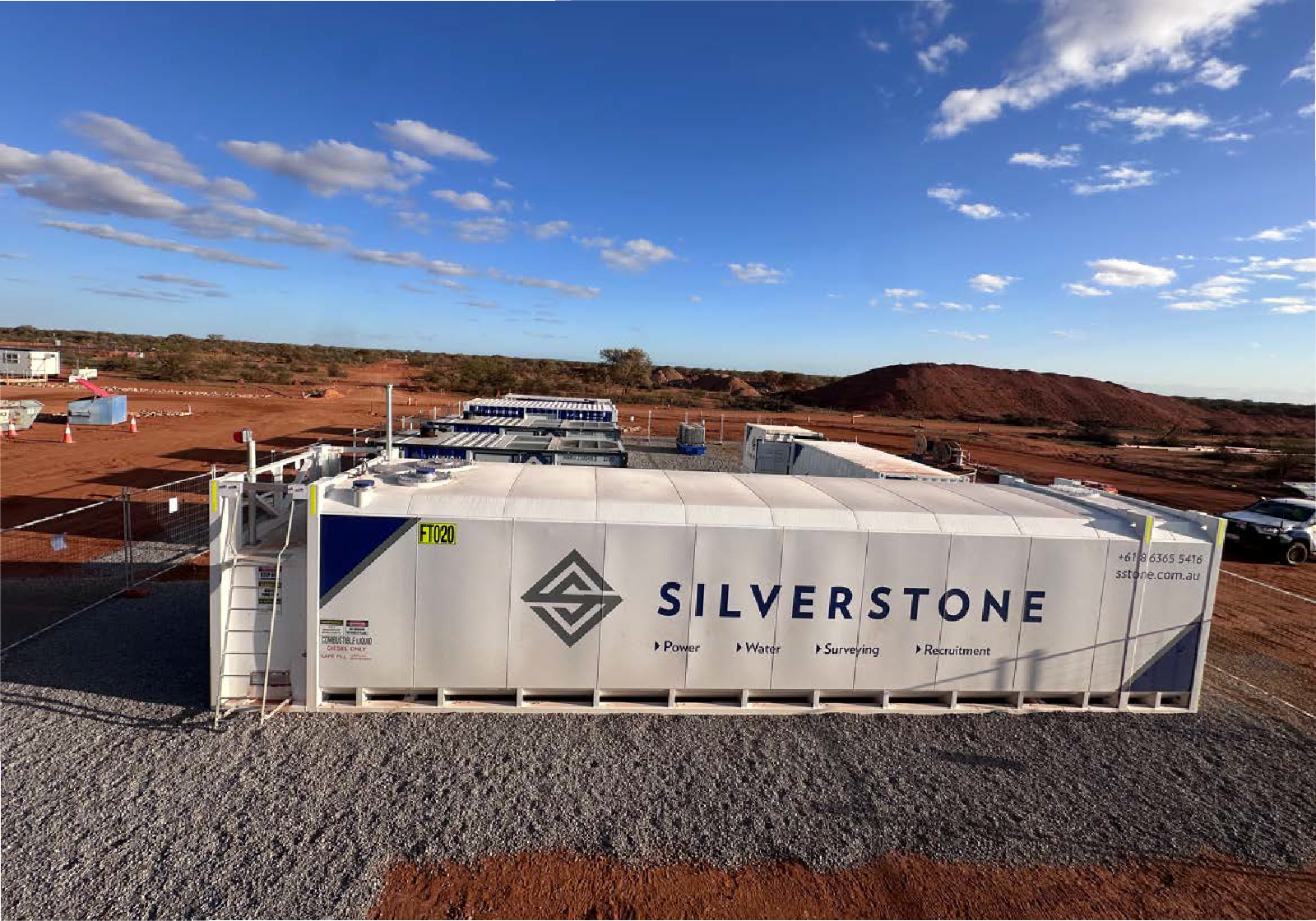
How Silverstone Ensures Surveying Accuracy Across WA Mining Projects
Every project presents new terrain, timelines, and challenges, but our commitment remains constant. With more than 60 years of combined experience, our leadership team brings proven expertise and insight to deliver accurate, efficient surveying for mining and dewatering projects.
Our surveys meet the highest standards of safety and compliance across Western Australia’s demanding environments:
- Aerial mapping and 3D modelling using high-resolution drone imagery.
- Rapid, safe capture of large or hard-to-access sites with minimal disruption to operations.
- Orthophotos, contour plans, and digital surface models for design and construction use.
- Accurate stockpile measurements and earthwork volume calculations.
- Progress monitoring and visual reporting for clients and stakeholders.
- Cost-effective alternative to traditional ground survey methods with quicker turnaround.
- Proven capability across subdivisions, construction projects, mining operations, and infrastructure sites.
- Seamless data integration with CAD and GIS platforms to support engineering workflows.
Our partnership approach keeps clients involved from planning to completion, ensuring seamless, dependable outcomes.
Learn more: The Role of Drone Technology in Modern Surveying Across WA.
Delivering Accuracy That Drives Progress
Even minor survey errors can disrupt a project. Silverstone’s expertise in tackling engineering survey challenges keeps every stage accurate, compliant, and on schedule across Western Australia.
With advanced construction for mining and surveying expertise, Silverstone delivers dependable results across Western Australian mining and infrastructure projects.
Call +61 8 6365 5416 or email [email protected] today to benefit from more than 60 years of shared experience that delivers reliable results.